Backstage at the Metropolis: Distributional Space and the Making of Urban Regions
This visual essay enters into the knot of logistics facilities that have cropped up in and around large metropolitan areas across the world over the past half century. We are interested in how these distributional nodes shape and expand regional space. In this case, we look at a collection of such facilities emerging at the nexus of a major freeway, Interstate 70, and the Indianapolis International Airport. Aerial views show the broader context, while ground level photographs reveal new and recently constructed buildings within the AllPoints Midwest Business Park.
Distributional facilities have gradually moved outside of central cities in what Laetitia Dablanc, an urban planner and leading scholar on freight and logistics, and Dina Rakotonariv, of the French National Institute for Transport and Safety Research, refer to as “logistics sprawl.” With the rapid expansion of automobile use in the twentieth century including the rise of long-haul trucking, municipal officials sought to decongest urban arterials and eliminate the choke points in the movement of goods into and through cities. At the same time, as department stores, supermarkets, shopping malls, and other high-volume operations grew larger and more complex, they needed new spaces for staging operations, from lading, shipping, and receiving to inventory, routing, and distribution. The availability of lower-cost land on the metropolitan periphery facilitated the relocation of distribution points outside of the urban core. Logistics facilities, then, are nodal points designed to reduce frictions in shipping, offloading, and distribution, and to optimize time, space, and labor for capital accumulation.
Figure 1: Distributional space and infrastructure. The modular “plug and play” landscape of warehouses, service centers, and offices has replicated around key nodes of infrastructure in Plainfield, Ind. At right is the Indianapolis Airport. Distributional space takes hold near I-70, U.S. 40, a CSX Rail yards, and the interchanges between them. These connect to the I-465 outer beltway, a vast circumferential freeway that links two major transcontinental routes: I-70 (north-south) and I-65 (east-west). View courtesy of Google Earth, 39.685194, -86.329240 (pin at cloverleaf), taken on April 7, 2024, at an effective altitude of 12 km. Annotated by Joseph Heathcott.
The multiplication of these nodes has amplified the broader shift in regional spatial production that geographers have framed as “regional urbanization.” The term refers to the assembly of highly interconnected spaces that co-exist with, then transform, the traditional metropolis with its clearly demarcated urban and suburban forms and "ways of life." Regional urbanization is driven in part by the growing population density on the urban periphery, the increasing heterogeneity of suburban land uses, and the multiplication of contacts with other urbanizing regions. No longer are suburban areas and urban centers easily demarcated; instead, there has been an expansion of “poly-centristic regional cities.” The late geographer Edward Soja and geographer Allen J. Scott used “exopolis” to describe a spatial system where the fabric between urban cores and peripheries becomes integral to the global interconnection of urbanizing regions. The AllPoints Midwest Business Park is one of thousands of such integrating nodes scattered across the globe.
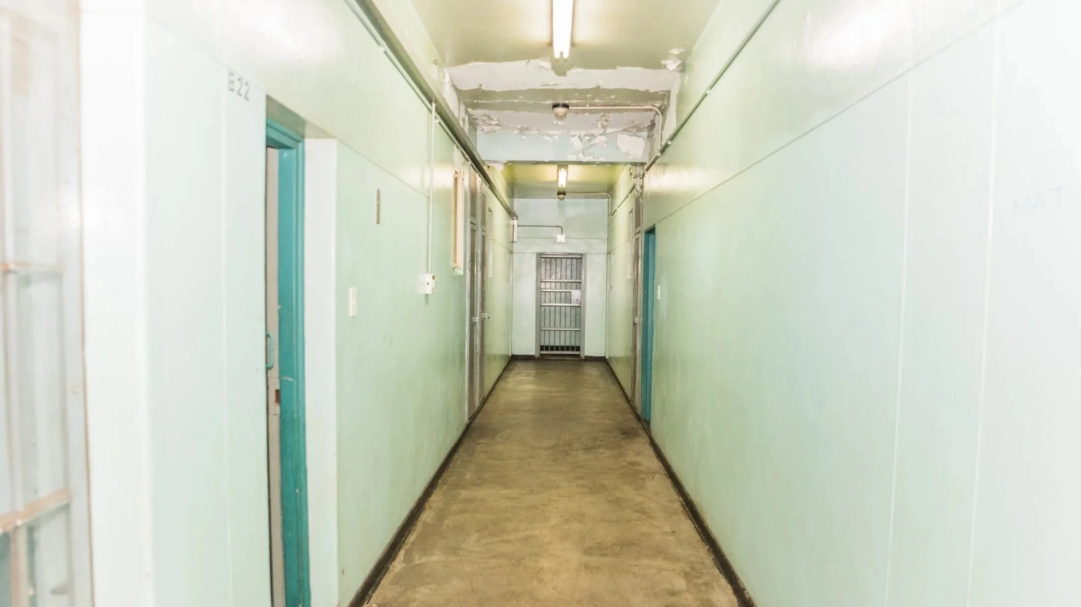
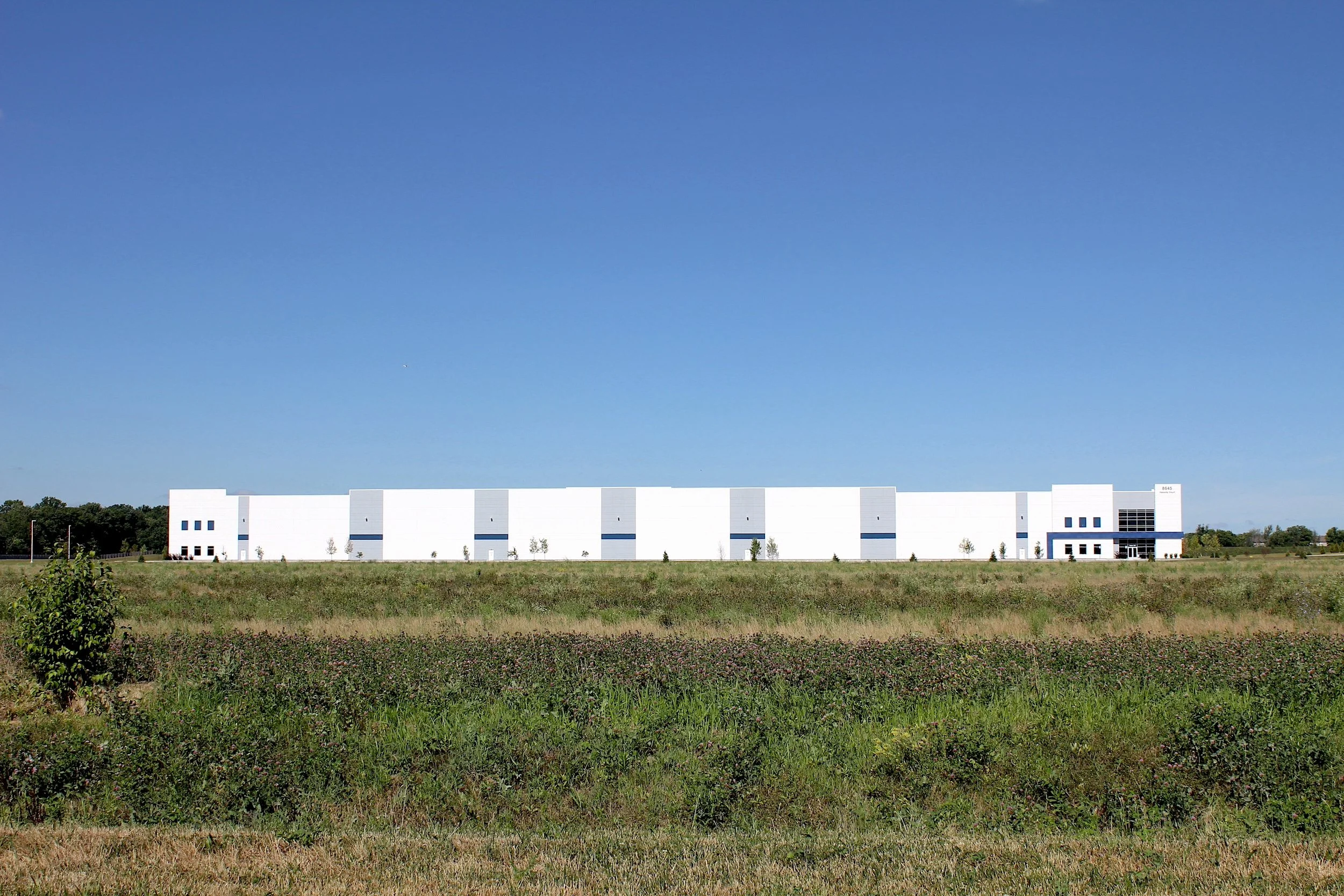
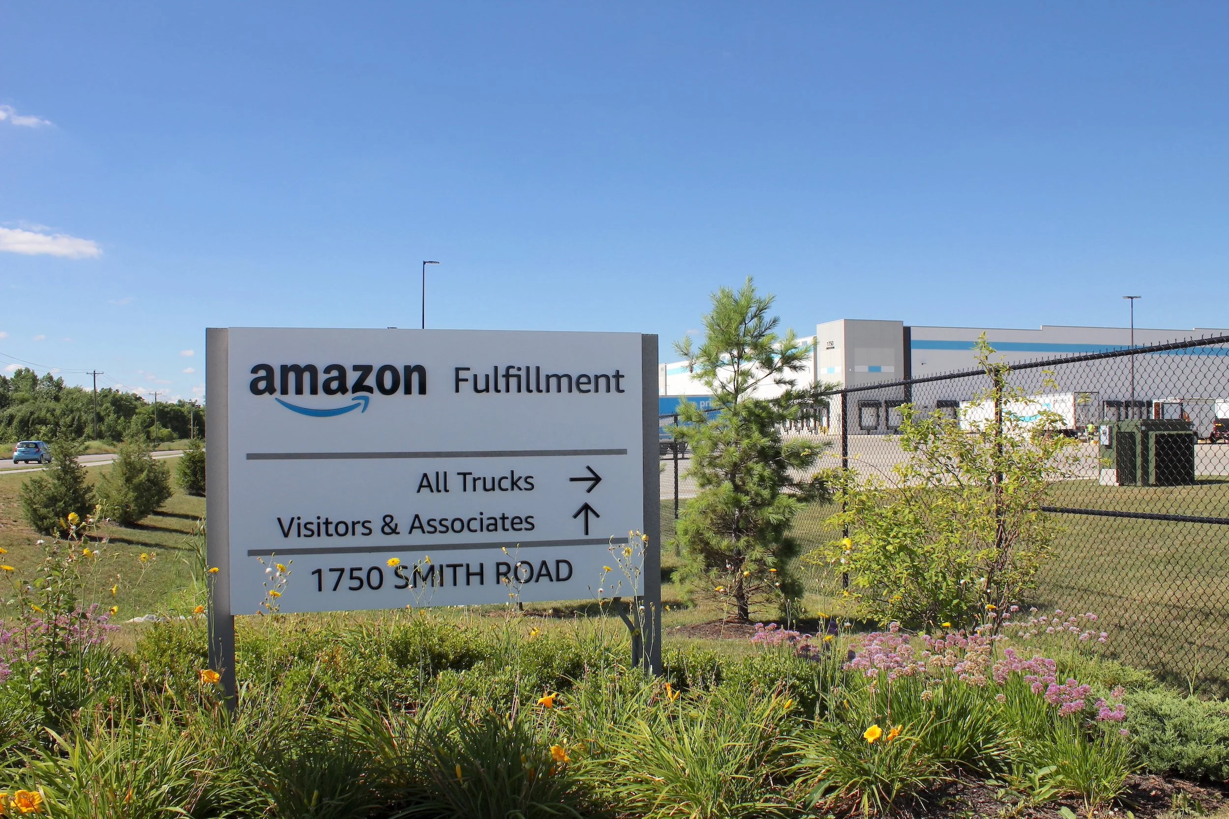
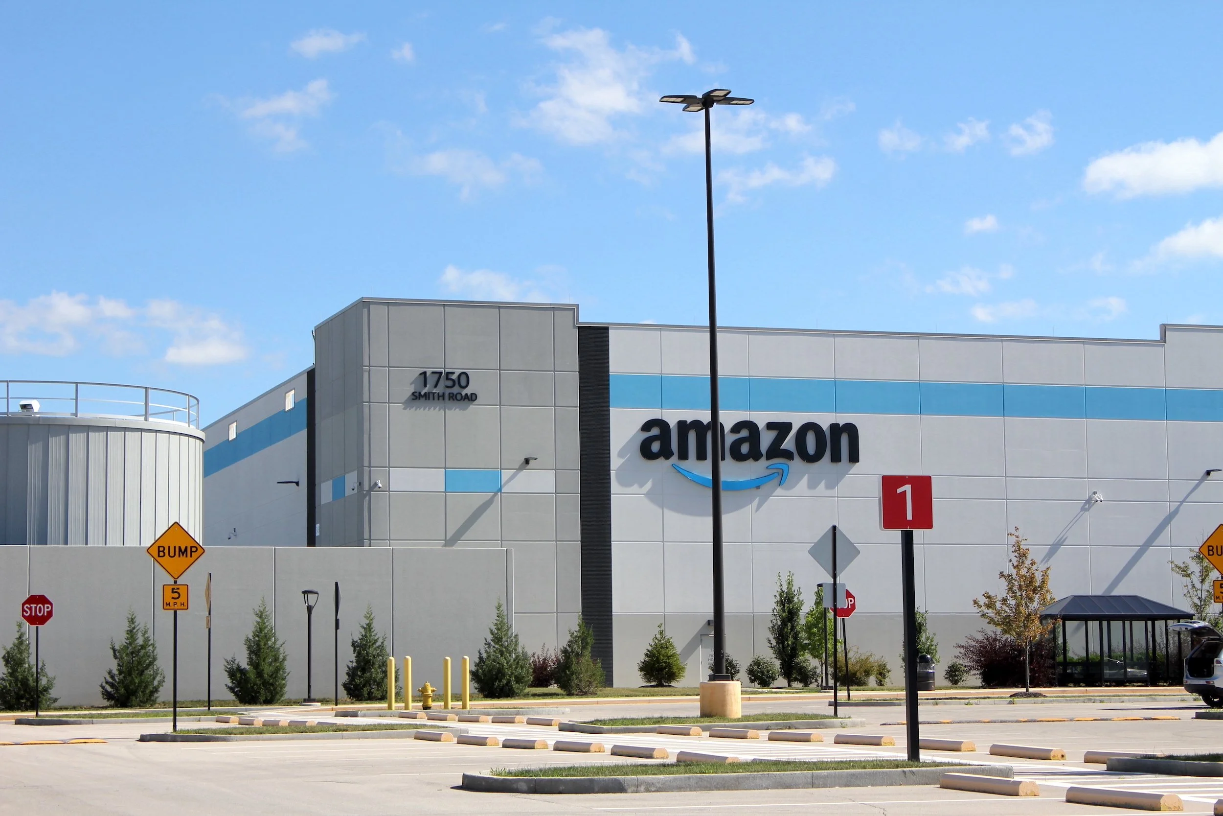
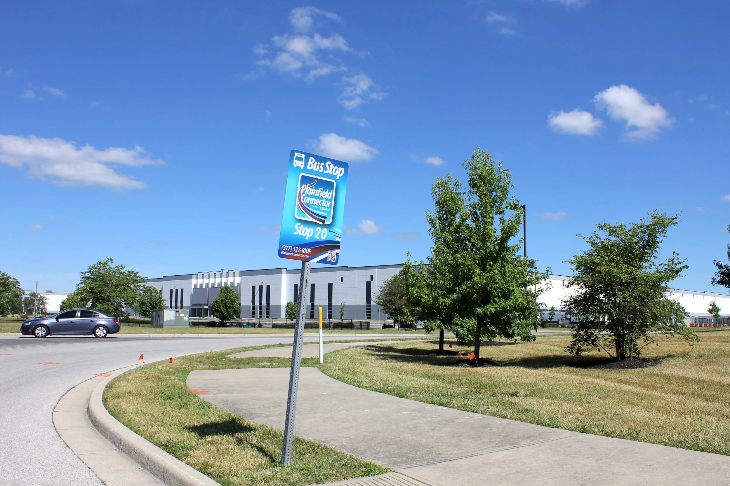
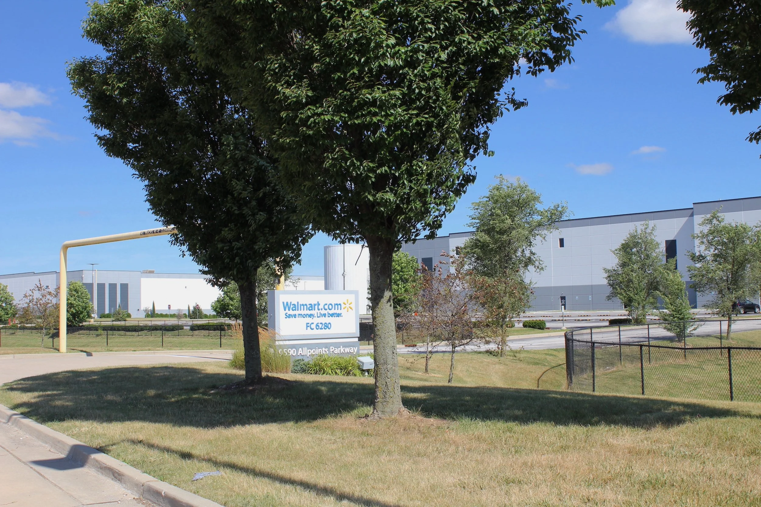
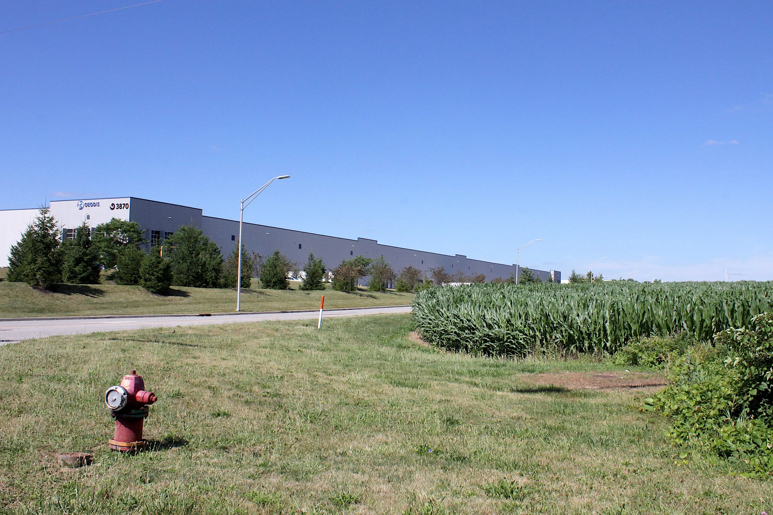
Most of the structures in AllPoints are distribution centers but there are also bottling and container plants, data and systems centers, and shipping companies. Almost nothing is actually manufactured here; it is a platform for shifting digits and things around the world. The large open format warehouses serve primarily as receiving, storage, and distribution facilities for major importers and consolidators such as Amazon, Walmart, Kohl's, and Kroger's supermarkets.
AllPoints is a space of flows optimized for reducing friction within the globalizing economy so that goods can be sorted and moved at greater speed from manufacturer to distributor to retailer to consumer. The warehouses and office buildings are set among residential subdivisions and big box chain stores, also scaled and designed for the reduction of friction in financing, material sourcing, permits and approvals, design, construction, and occupancy. While contemporary supply chains are increasingly hyperglobal, they nevertheless rely on the “pinpoint” geographic location of these facilities in order to interface with the material world.
These pinpoint locations are highly planned and organized. AllPoints is one part of a broader economic development effort by the town of Plainfield and Hendricks County, Indiana, the main goal of which is to make the region a center of continental interior shipping. The initial impetus came with the building of the 320-acre Indianapolis Municipal Airport in 1931, which became the Indianapolis International Airport in 1976. Over several decades, the airport added a runway and three additional concourses, while a small cluster of warehouses, mail services, and shipping facilities accumulated directly to the east, connected by several roads to the city center. Finally, in 2008, the airport underwent a major expansion. Officials demolished the old terminal and decommissioned the cramped, outmoded runways. In their place, they built an immense new terminal and three long runways on 9000 acres of land.
Figure 2: The motherboard. This satellite view of Plainfield, Ind. shows logistical and distributional facilities as a kind of “motherboard” of switches, capacitors, and circuits. Some of the facilities bulk and move goods, others manage data storage and flows. Note the airport runway at the bottom and the strands and clusters of highways. View courtesy of Google Earth, 39.685194, -86.329240 (pin at cloverleaf), taken on June 10, 2024, at an effective altitude of 6.6 km.
Meanwhile, as Indianapolis grew steadily through the post-World War II decades, the Interstate Highway System dramatically transformed it. Portions of I-70 on either side of the city were constructed between 1961 and 1969, with the elevated expressway through it completed in 1975. At the same time, highway officials routed I-65 to cross the state from the southeast to northwest, with the section passing through Indianapolis completed in stages between 1972 and 1976. Both Interstates connect with the I-465 beltway, initially conceived in 1955 and constructed in stages from 1966 through 1970. This crossing of highways served to connect Indianapolis to two transcontinental routes: east-west I-70 from Baltimore to Sulfurdale, Utah, and north-south I-65 from Mobile, Alabama, to Chicago. Coupled with proximity to the main CSX freight rail line and numerous state highways, this placed Indianapolis at a key transportation nexus.
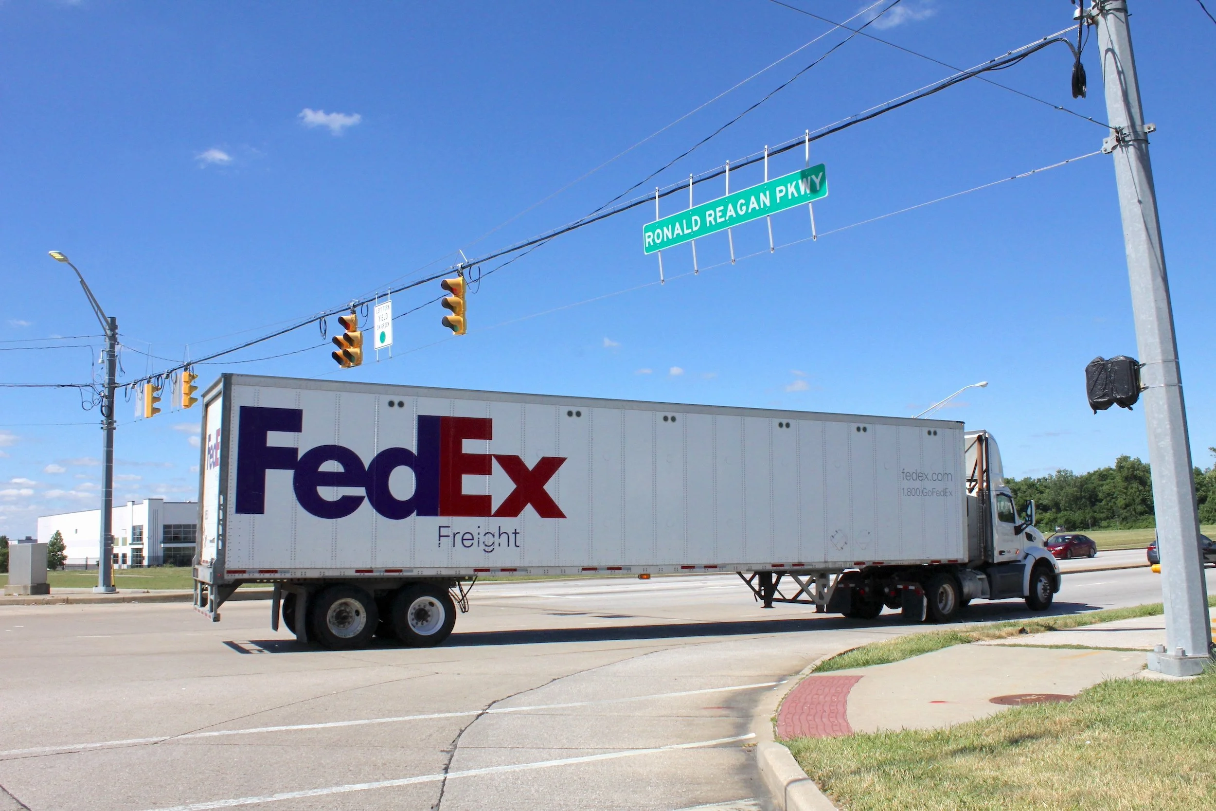
To take advantage of this nexus, Hendricks County officials rezoned hundreds of acres of farmland near the border of Marion County for light-industrial development. This change opened the way for a new and much expanded platform for logistics and distribution at the convergence of the airport, Interstates, and rail lines. To facilitate more rapid transportation between these facilities, the airport, and the federal and state highways, they constructed two new connector routes (Ronald Reagan Parkway and Stout Heritage Parkway), and widened several key local and county roads.
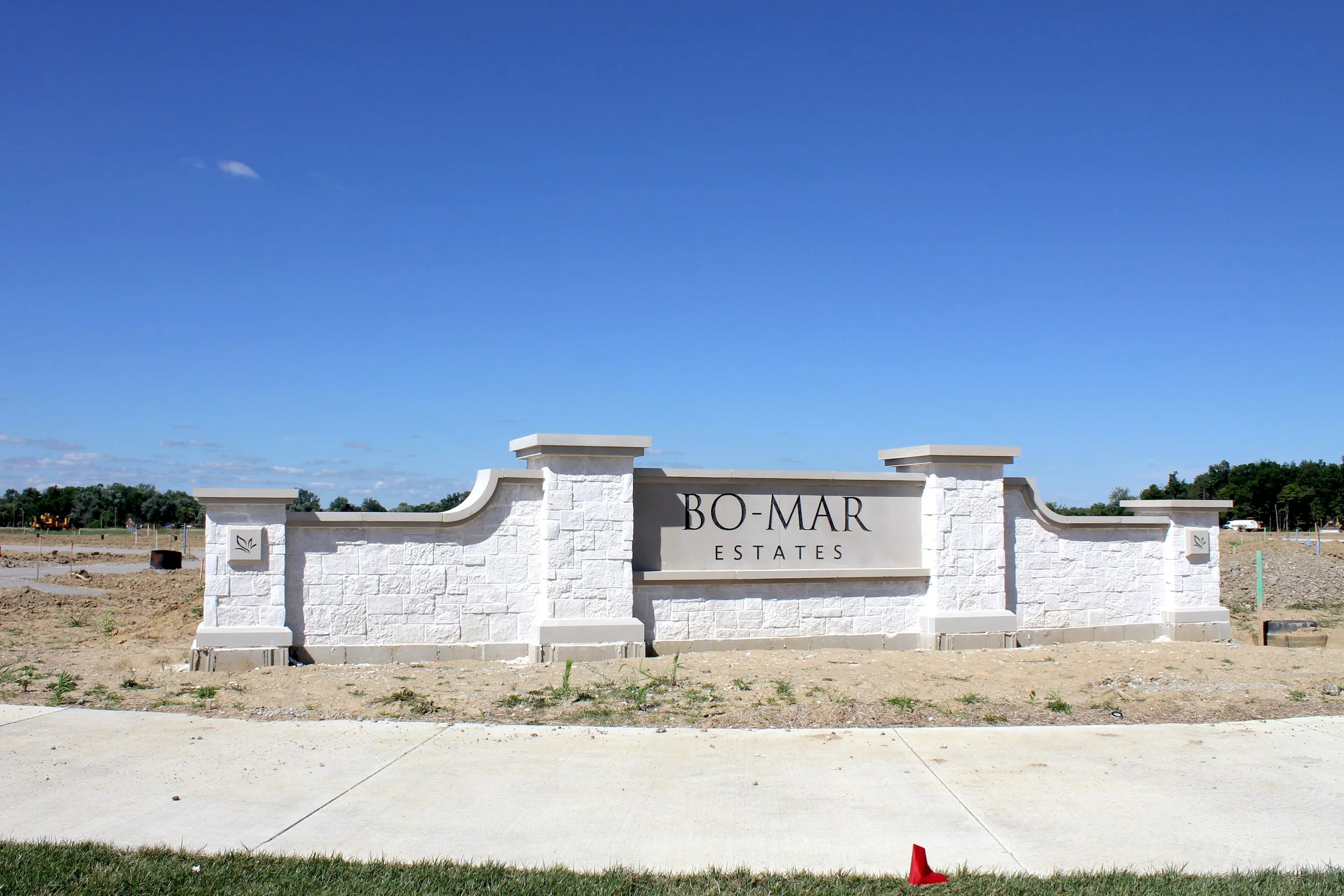
Between 2000 and 2025, eighty light-industrial facilities were built in Hendricks County between Ronald Reagan Parkway to the east, Quaker Boulevard to the west, I-70 to the south, and Rockville Road to the north. Many of these structures are upwards of five times larger than the older warehouses and offices clustered around the former airport terminal to the east. Additionally, there are at least twenty more facilities in one or another stage of development. AllPoints, featured in the photographs below, is just the latest in a series of spatial ventures, located in the northern portion of the zone, with seventeen buildings either completed or under construction.
Figure 3: AllPoints Midwest Park. AllPoints Midwest Park is located just north of the main distributional landscape shown in Figures 1 and 2. Opened in 2011, it now has 15 buildings with more underway, housing over a dozen major companies. Water runoff and retention ponds are indicated, as are the key connector roads. AllPoints is only three miles from the Indianapolis Airport. Screenshot of map from AllPoints Midwest Park webwebsiteite.
All of this development activity centered on distributional space has contributed substantially to regional urbanization. As a sprawling urban form it is not simply a smooth replication of urban and suburban fabric but a nervous series of eruptions across a patchwork landscape. It is a mosaic of airports, logistics facilities, residential subdivisions, agricultural land, small towns, hotels, gas stations, office parks, and big box chain stores, all connected by arterial highways, ring roads, freight spurs, and bus routes. Region-scaling distributional nodes like AllPoints certainly constitute a “spatial fix” — a restructuring of the urban environment to store capital accumulation, but not for parking capital. Rather, the “fix” here is to establish a modular component in the global movement, bulking, and dispersal of goods; a space for reducing friction in capital accumulation. This collection of facilities acts as a “step down” transformer, a landscape devoted to shifting the energy of production and long-range transportation into ever-smaller circuits of distribution via local roads to regional shopping centers, big box stores, local stores, and households.
The distributional landscape of AllPoints necessarily obliterates local particularities, vernacular forms, and older relations with the land to make way for the installation of a socket in the global circuit of flows. As Soja reminds us, the unbounding of the metropolis has given rise to a proliferation of seemingly placeless spaces that only exist for the storage and flow of capital and goods. Somewhere down there are ancient creeks, remnant stands of old forest, rolling hills and contours, birds and insects and small mammals. But anything not already transformed by industrial-scale agriculture has now been given over to this emergent, low-slung landscape of consumption. It is the realization in built form of a modular, interchangeable, flexible accumulationist, globalizing capitalist world.


Citation
Isis Moon Gamble and Joseph Heathcott, “Backstage at the Metropolis: Distributional Space and the Making of Urban Regions,” PLATFORM, December 1, 2025.